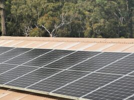
While chasing data to confirm that the biggest solar farm in Western Australia to date has started delivering power to the grid, we came across this map below showing the existing renewable energy resources in the state.
The map is sourced from the Australian Energy Market Operator’s most recent Electricity Statement of Opportunities, an annual assessment of the state of the grid.
In W.A., the main grid occupies only the south-west corner of the vast state. The remainder of the state operates on stand-alone systems, micro-grids, or private networks, because the distances are simply too big for such little demand.

The map now completes our series on state-based generation, which we hope you will find as a useful reference. As advised, we hope to be able to bring you interactive maps of both existing and the pipeline of generation sometime soon.
In the meantime, you can find maps of generation in other states, at the following pages: